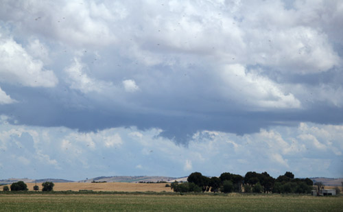
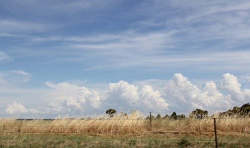
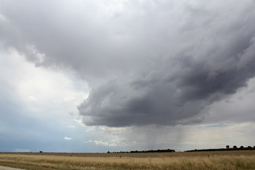
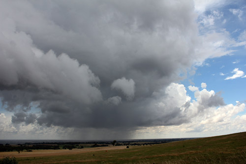
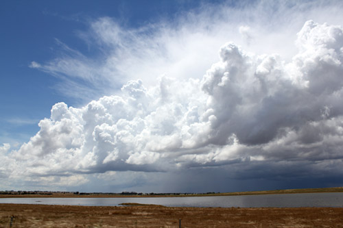
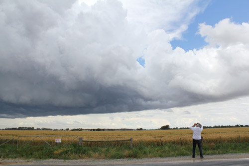
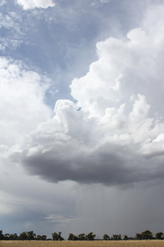
 Early afternoon convection, Heathcote |
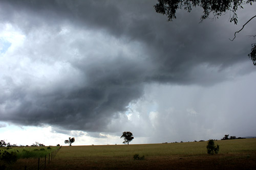
 Interesting inflow bands, Heathcote |
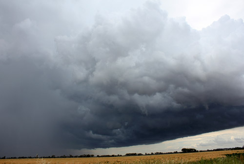
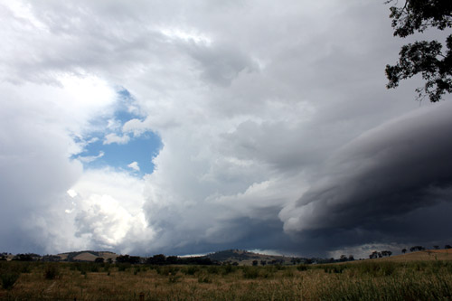
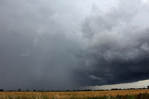
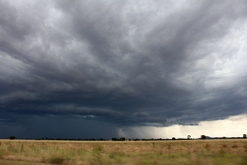
 Yikes!! Base rotates near Heathcote |
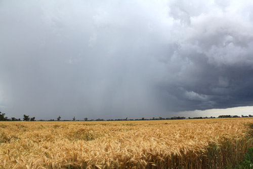
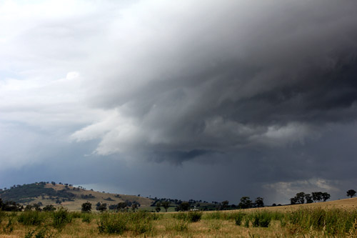
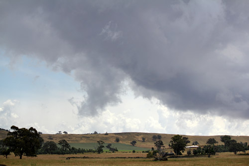
 Isolated storm, west of Colbinabbin |
 |
 |
|
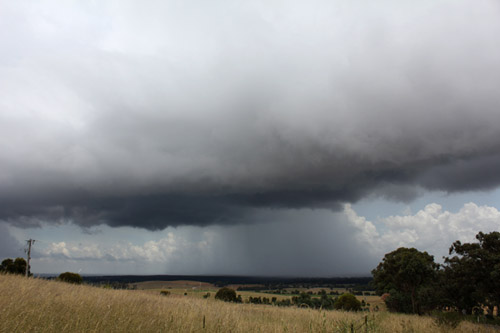
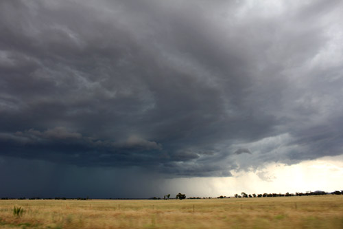
As the Heathcote storms disappated, the convergence line continued to produce ragged lowerings and later developed into bigger storms Cells rapidly develop along a converging line north of Heathcote |
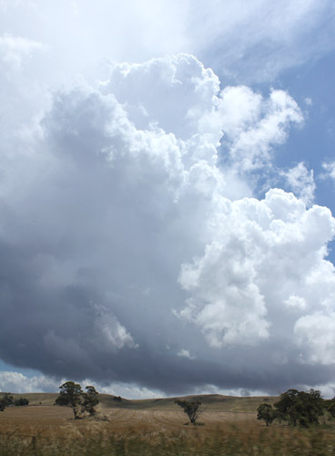 |
Pulse storm gets going, Tongala. Nice rain free base |
|
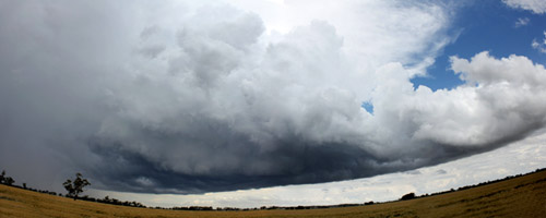
Panorama of inflow alignment, Tongala |
Severe pulse storm gets its act together, Tongala |
 The Tongala storm developed an impressive flanking line
|
 Spectator and storm |
 The Tongala storm produced hail and continuous thunder for almost an hour before promptly collapsing
|
 |
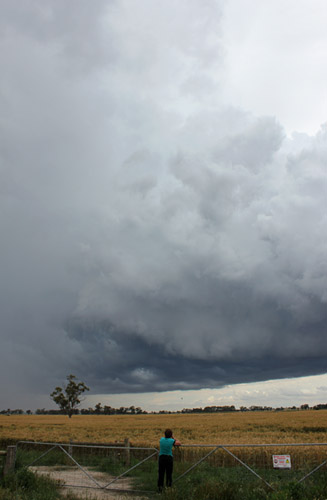
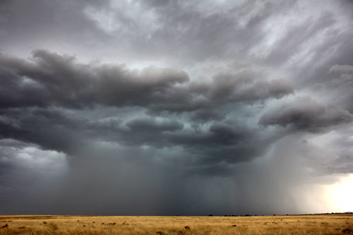
Wall cloud, Inglewood severe storm and suspicious lowering reaching the ground. We suspect this storm may have been briefly tornadic. |
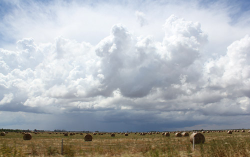
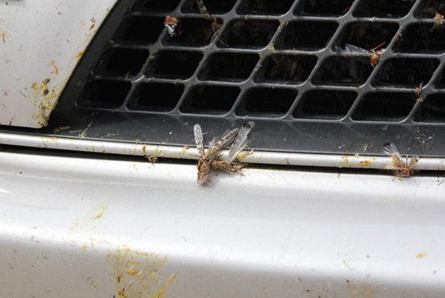
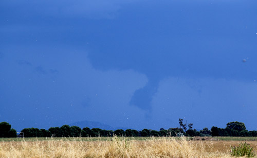 The white dots are locusts. The lowering was rotating. (also caught on video) |
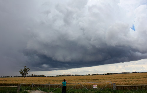
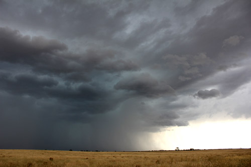
 Inglewood storm expands into a huge gusher |
 Banded inflow, northern quadrant |
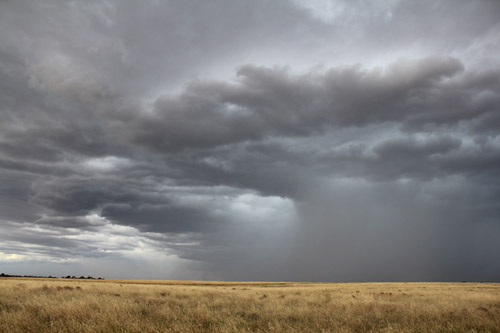
 The Inglewood storm provided great photographic opportunities |
|
 |
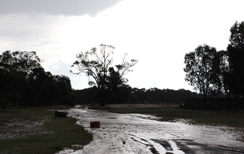
Flash flooding Inglewood |
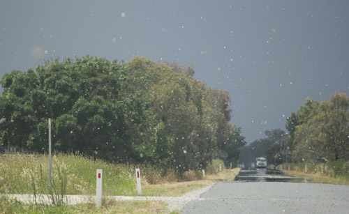 Locusts were thick and fast both in the air and on the ground |
 |
 |
|
Outflow boundary moving west, photo taken near Echuca (formerly outflow from the Tongala pulse storm) It was interesting to see how the outflow boundaries interacted with the environment in low shear conditions |
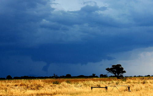
 Isolated storm, Mitiamo |
|
 Dripping hoppers, Trentham - mum and daughter |
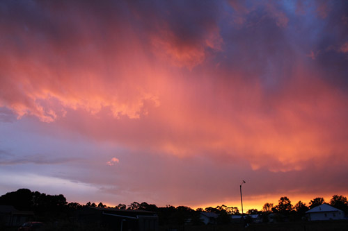 The convection gone...great sunsets!! |