| 13th May 2009: Elk City, OK to Guthrie, OK | |
| Logan
County - Guthrie storms Report: Clyve Herbert Today we met with a real dilemma....I'm sure that a number of Australian chasers would know what I'm talking about - and that is a large area of the south - central from Oklahoma to Missouri had a real chance of tornadic activity. In some locations such as Missouri, the rating was a 7/10 chance...eastern Kansas 6/10, and 6/10 for northeast OK and 5/10 for the southeast of OK. The busy day we had before chasing the TX Panhandle got us into bed around 2am, so this is where we had difficulty with decisions...get up at 5am and race NE to Missouri (8 - 9 hours plus), or perhaps get out of bed at 6am and run to northeast and eastern Kansas. Another option was to maintain our location at Elk City and wait for the possibility of late supercell breakouts in southwestern OK, or split an option for near OK City and to the southeast and then combine that with the chance to get into northeast OK - we took the latter option. The synopsis for the day was a cold front dribbling into northern OK, storms were expected to break out along the cold front relatively early in MO and northeast KS, and were not expected to breakout across northeast OK till later afternoon or evening. The cap was more pronounced in southern OK and an upper cooling was anticipated to move into northern OK associated with the front. The cap was also weaker in northern OK. We wandered around areas southeast of OK City till mid afternoon and watched suppressed cumulus held down by the cap...temperatures approached the high 20'sC (high 80's F), and we clocked dewpoints near 20C (68F). With the cap holding from around OK City, we decided to go north and take up our split option. As we approached the Perkins / Stillwater region we noted an explosive development along the front near the OK / KS border. Our concern with this set up was the rapid development of linear storms and the cold front overrunning updrafts..the storms were only growing along the frontal boundary. Within half an hour, the linear band of storms extended from Missouri to the central north of OK. At Stillwater, we headed west in the late afternoon to approach a large storm west of Hennessy. We also noted another very large storm north of Stillwater, possibly near the KS border. Again, options of chase became difficult...we continued west. Approximately 10 - 15km east of Hennessy, we pulled over to photograph a developing storm line to our north. It was obvious that the mid and upper levels were extremely unstable. We noted the alignment of the cold front 20 km to our northwest and most updrafts were generating along this boundary. The storm to our north took our interest with a persistent rain free base. This storm matured producing brilliant cg's and a massive anvil. Meanwhile, further west we spotted a better alignment of convergence and shifted our position closer to Hennessy. This area of convergence became progressively larger, finally producing a focus point of updraft. This large area of development later became the precursor to the Logan County - Guthrie storm. We followed the pulsy nature of this increasingly severe storm (which was tornado warned) from east of Hennessy all the way to Guthrie...this storm produced fantastic lightning, wall clouds, and eventually 6cm hail. In fading light as we approached the north of Guthrie, we came across a group of mini buses carrying hordes of storm tourists...they were excited about bagging a tornado in eastern Kansas that afternoon. We continued into Guthrie as we suspected the storm following us was a hail producer. As we pulled under cover of the motel for the 2nd time in 2 days, we could hear the loud thumps of hail on the roofs...for the next 20 minutes the storm dropped 2 - 6 cm hail, unbelievable lightning and eventually killed the power supply to all of Guthrie. Footnote: just prior to our arrival at Stillwater, barely 20 miles to our north, the massive development we saw there produced a tornado. |
|
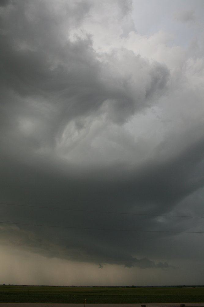
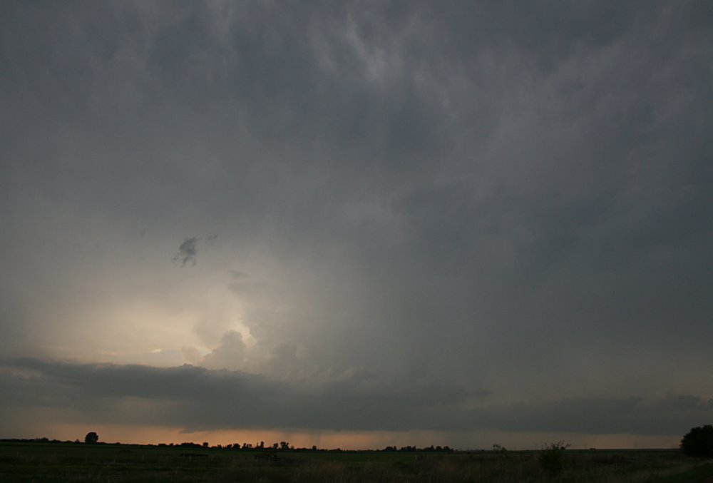
 Large scale development along the frontal boundary line, nothern OK. The main updraft is hidden by falling precipitation. |
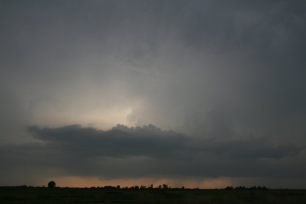
 Overhang of strong cell near Ponca City, possibly the tornadic cell |
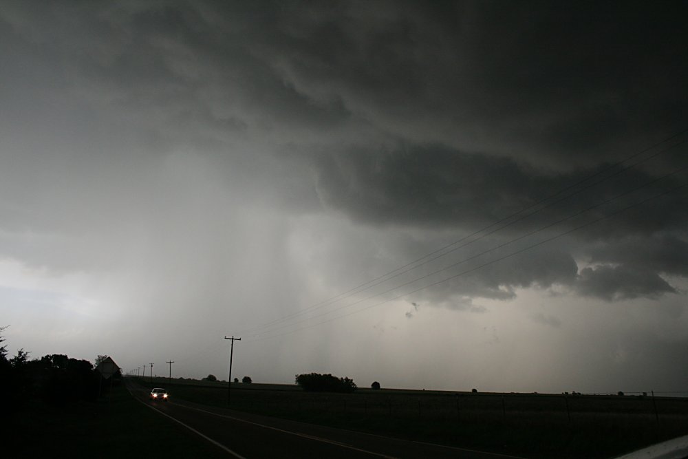
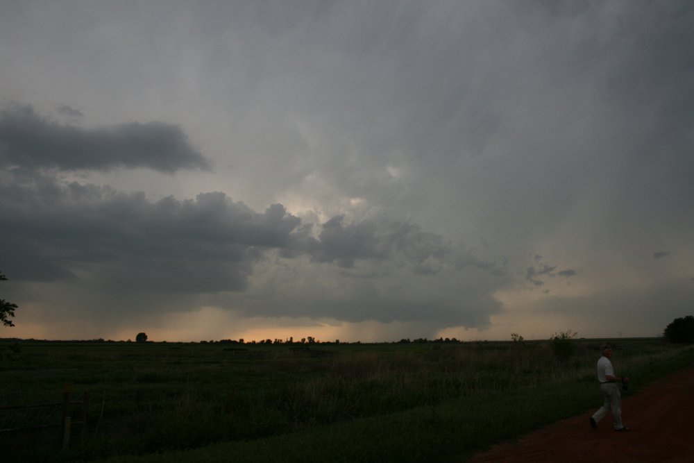
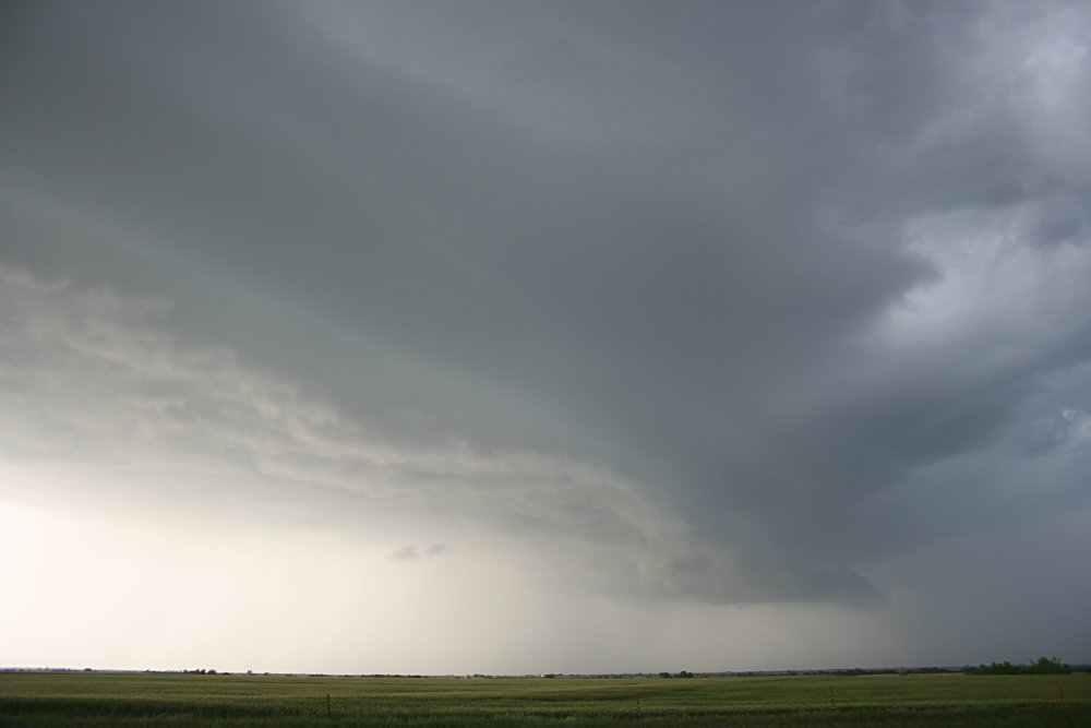
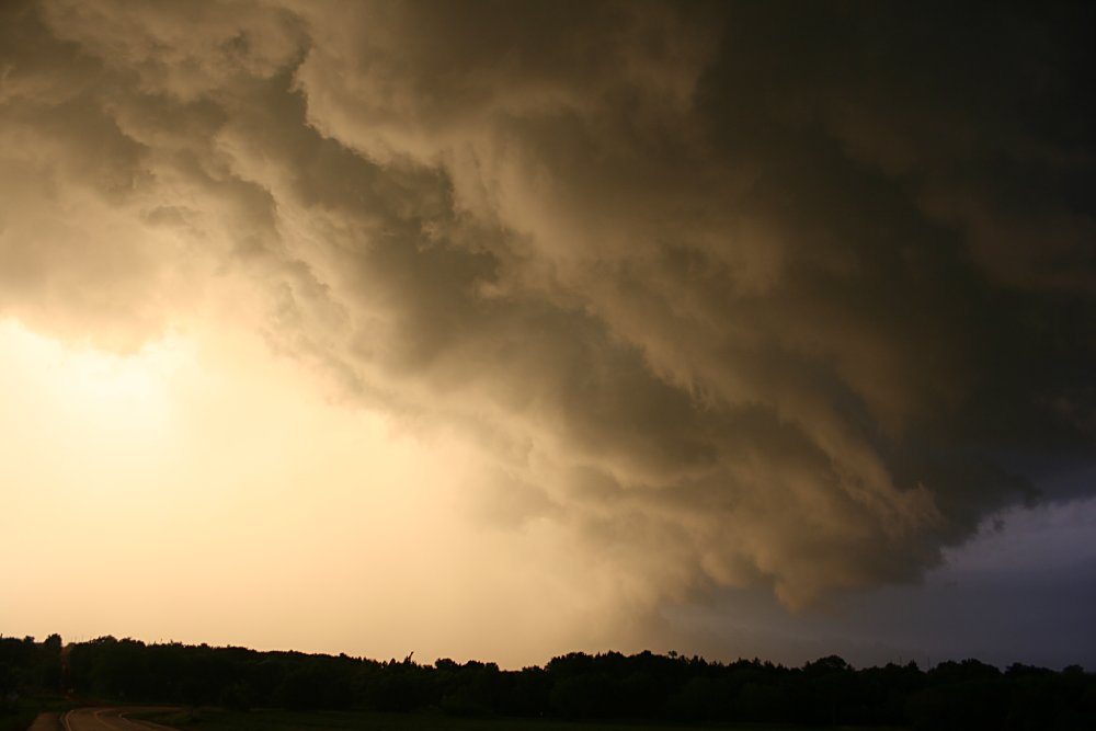
 Strong updrafts continuing along the frontal boundary north of Guthrie |
 Strong updrafts continuing along the frontal boundary north of Guthrie |
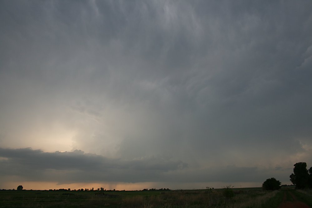
 Cb growth along the frontal boundary |
 Developing convergence line near Hennessy |
 Developing cell east of Hennessy |
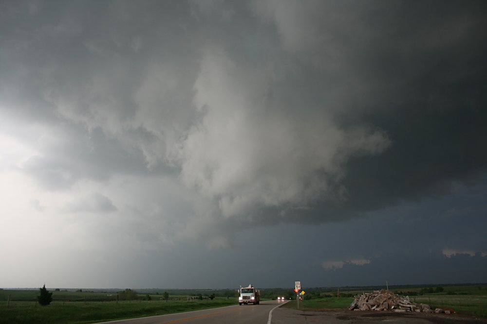
 Developing convergence line east of Hennessy |
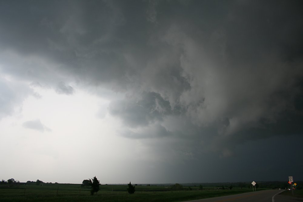
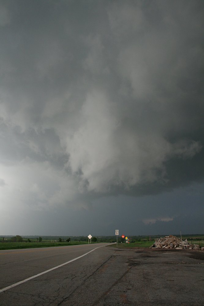
 Convergence and strengthening updraft aligned along the cold front east of Hennessy |
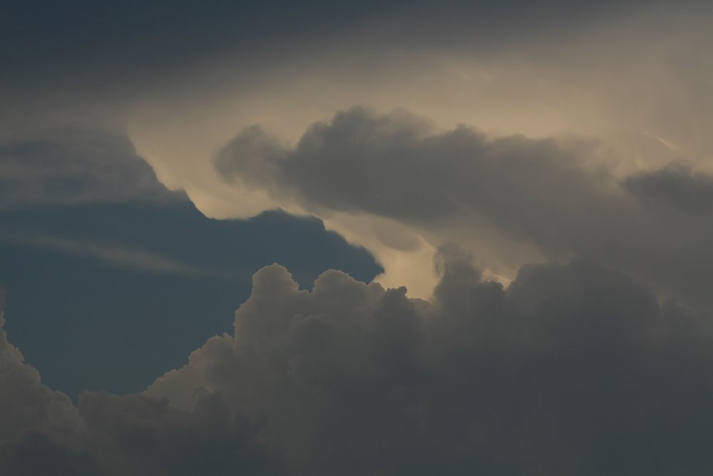
Turbulence on the infeed alignment producing rapid shallow rotation |
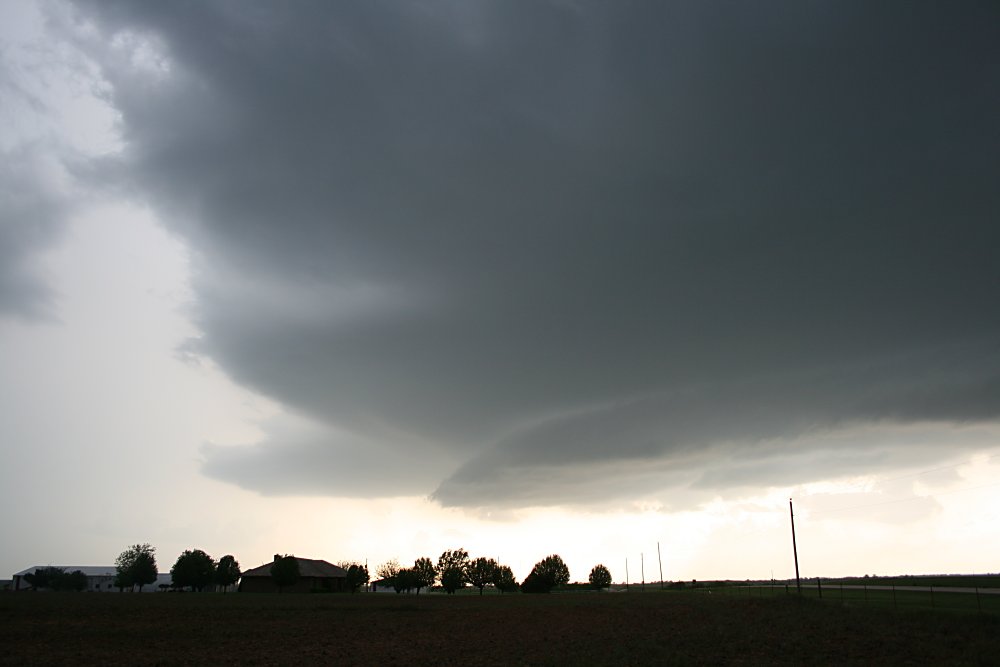
 Struggling wall cloud northwest of Guthrie and RFD hole |
 Struggling wall cloud NW of Guthrie |
|
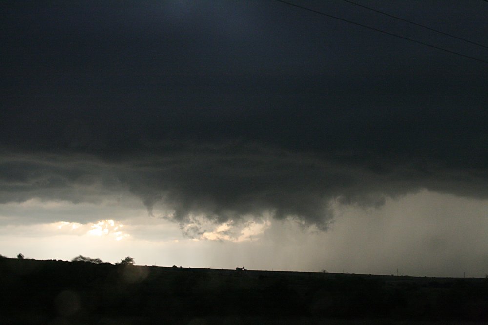
Rainshaft north of Guthrie |
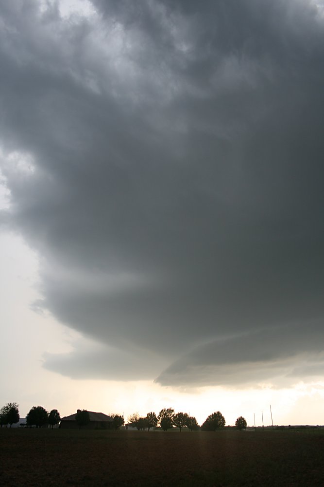
 Wallcloud development north of Guthrie |
 Ragged and struggling wallcloud north of Guthrie, possibly rotating |
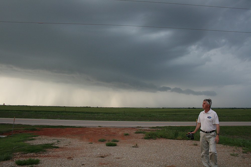
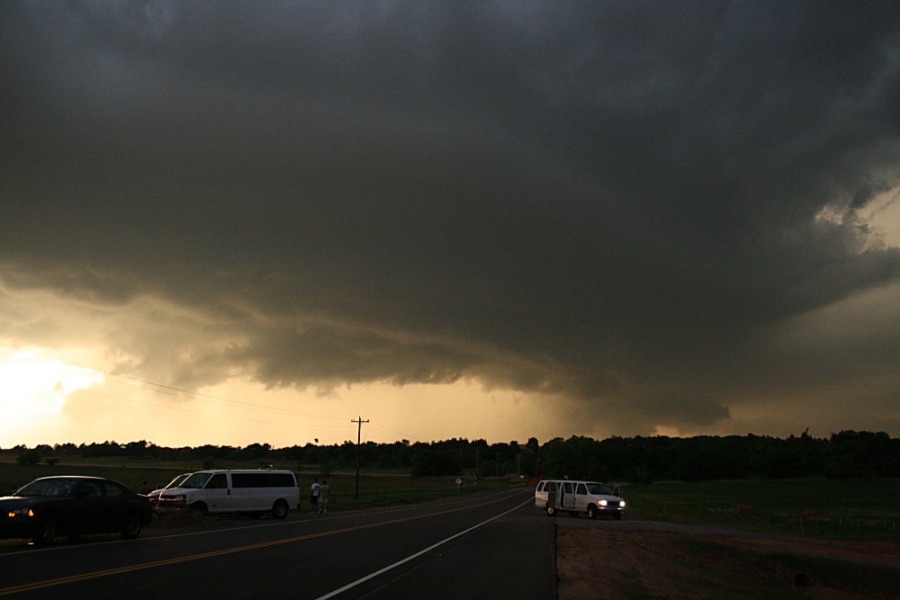 Storm tourists north of Guthrie |
 Updraft and outflow interface near Guthrie. This storm was producing hail up to 6cm |
|