| Day
11: 2nd May, 2010: After the excitement of Day 10 (1st May) and bagging 3
tornadoes, not counting funnels, our plan today is to head northeast into far southern
Illinois where the western edge of a cold front still lingered and there's an offchance of
storm activity, however we aren't confident of too much happening - there's been extensive
areas of rain through this region overnight, so the primary objective becomes getting to
central Illinois for the following day where stronger storms are expected. Driving NE on
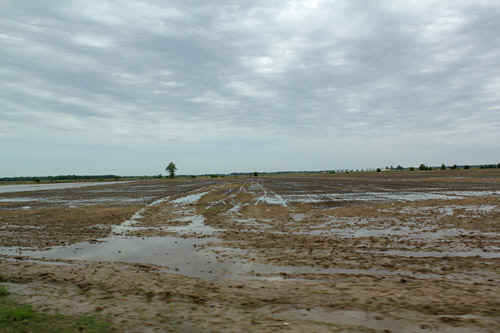
H67 into far northeast Arkansas, the open rice country remains with good views. As we
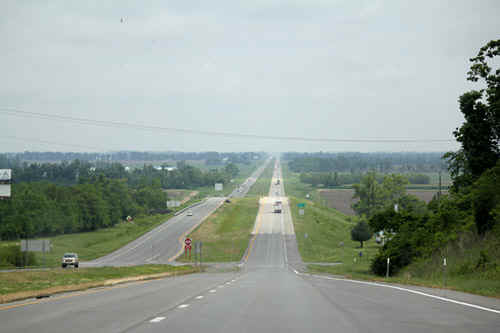
drift into SE Missouri, we turn on H 60 - here the countryside is heavily treed with
pretty towns. We reach the great Mississippi River and cross over an impressive bridge
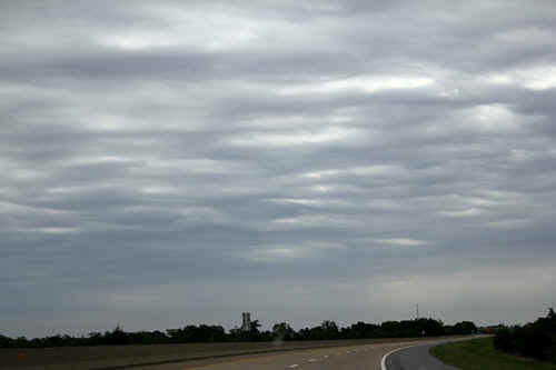
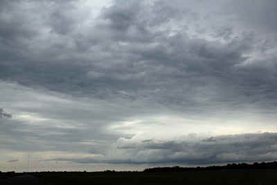
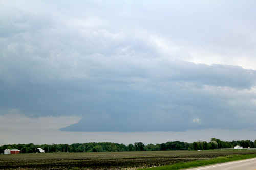
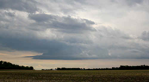
into far southern Illinois. If we look to the right, we can just about see Kentucky! As wehead north along I-57, we notice a progressive change in conditions with better convection - we photograph an isolated storm NE of St Louis which promptly collapsed after sunset. We overnight at Litchfield. |
|
 |
 |
 |
 |
 |
 |
 |
 |
| Stay tuned for tomorrow's episode... | |