| 19th May: Enid, OK to Great Bend, KS | |
 Dryline storm gets its act together NE of Dodge City, KS |
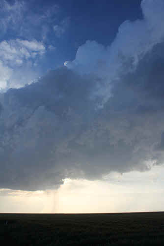
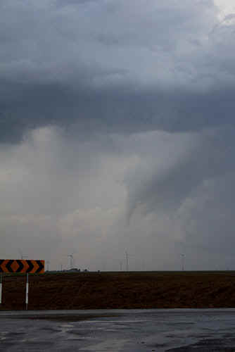 Weak funnel, north of Ford |
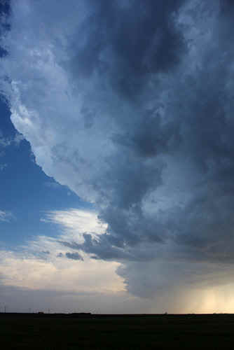 Mind blowing updraft developing over a relatively small base feature |
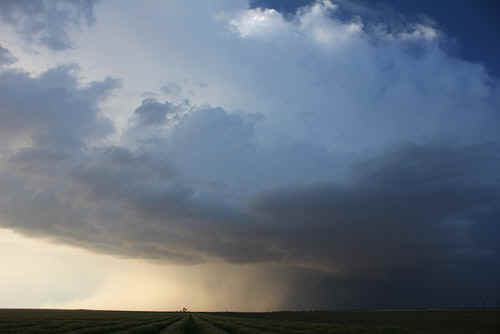
 Spectacular plains storm, west Kansas |
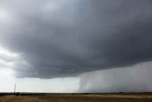
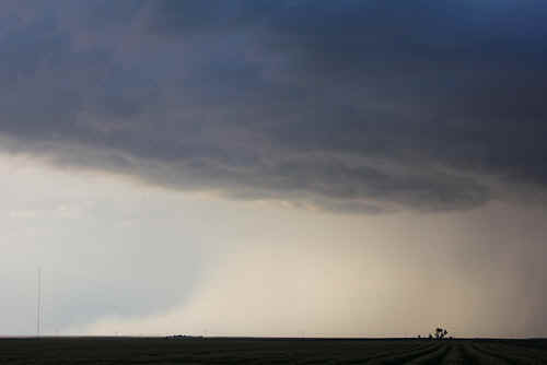
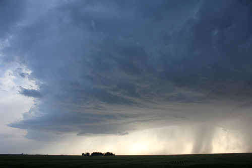 Developing rain free base with suspected rotation |
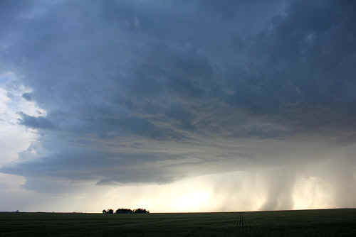 |
 The rainfree base area continues to expand and starts to feed on moist air deriging from the SE. |
 Weakly rotating base interacting with outflow. |
 Narrow updraft column, SW quadrant |
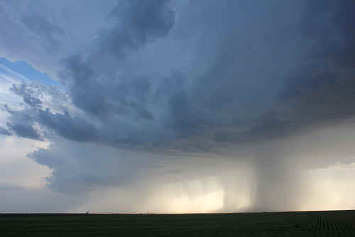
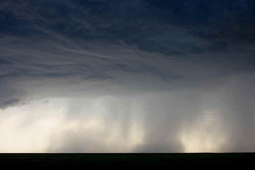
 Strong rainfoot spreading west from collapsing core. (Outflow from these storms kept pushing the dryline west) |
 As the storm moves NE it continues to intensify and develops a prominent flanking line |
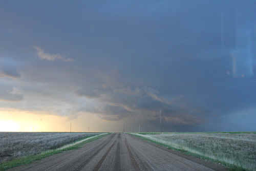 This stomr is tornado warned and the flanking line becomes large |
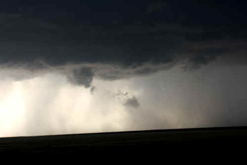
 Approaching maximum strength, a rain wrapped tornado was reported rain wrapped in the core, unfortunately we couldn;t see it. Interesting tail feature on the SE. |
|
| Stay tuned for tomorrow's episode... | |