| Day
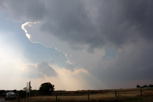
6: Abilene, TX to Shawnee, OK - The Rosedale - Byers Supercell Oklahoma Today we do a mad dash from Abilene to southern Oklahoma - the warm front has lifted well into Kansas and a respectable channel of Gulf moisture affects Oklahoma ahead of a cold front expected into the central south late evening. We eventually end up at a gas station in Ardmore and we spot USA chasers. It's late afternoon and so far the cap remains firm in this area. Storms have already developed over northeast Oklahoma along the frontal boundary. We're expecting significant convection towards evening as the frontal boundary kicks into the lower I-35 corridor. From Ardmore we head west to sit at a junction with Hway 76 and pretty soon a few towers flare up and glaciate. It's a waiting game to identify what would become the dominant cell. We soon spot a strong updraft to the NW and head north to Ratcliffe City. In this part of Oklahoma, major road repairs occur during the warmer months and we have to choose our roads carefully. A small sign indicating our northern route is open to local traffic only is a clue, we take an alternative route to the east and head north on Hway 74 to Elmore City. The spotted area of convection earlier has grown to an immense size with a large rainfree base. Road traffic is a problem, we are only 30-40 miles south of Oklahoma City. As the storm grows in intensity we head east to the gauntlet of finding the narrow roads between Rosedale and Byers. It's here the storm takes on stupendous proportions. We encounter large hailstones, unbelievably fierce lightning and a number of funnels. We suspect however that the storm is tornadic as the mesocyclones wrap rain rapidly into their circulations. We eventually head east on Hway 19 to Stratford where you would think what we had seen with this storm so far couldn't get better...but it does. We come across a mind blowing beavers tail that is feeding into the meso circulation of the supercell. Lightning is off the scale with arcing and sparking into clear air all around the storm's periphery. We need a Faraday cage! We cannot explain in this article the power of this storm and its lightning. We come across an area north of Stratford where chasers are parked higgledy-piggledy - some are parked on the highway - others are running around outside with cameras pointing skywards - all of this happening under a mega lightning producing supercell. We escape further north from the mayhem. We are now passing under the beavers tail which is spinning funnels and we encounter the rich warm infeed where the temperature rises from the mid 70'sF to the high 80's!! (23C to 28C!). We are in the warm conveyor belt to the storm and wind speeds reach in excess of 140kmh - our car is buffeted and for a few seconds we end up on the wrong side of the road. We watched our video of this sequence in amazement. We head north to Shawnee under strobing lightning.
|
|
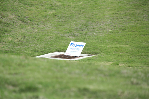 Americans will take advantage of any location to advertise! |
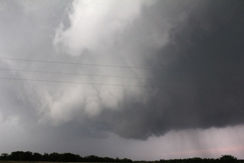
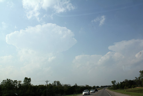 Cap breaks near Ratcliffe City |
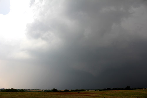
 Within 30 minutes the first convection is transformed to supercell status |
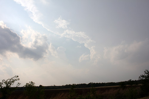
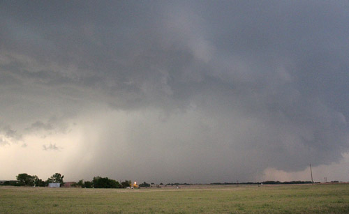
 The leaning tower of Oklahoma!! |
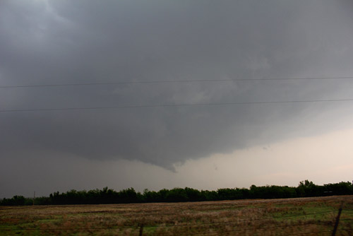
 Developing tornado, Corbett region |
 Funnel, Rosedale |
 Under the meso near Rosedale |
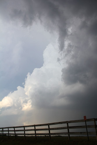 The meso area was marked by frequent but short lived vapour funnels |
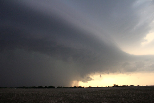
 Large rotating wall cloud near Rosedale |
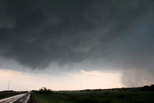
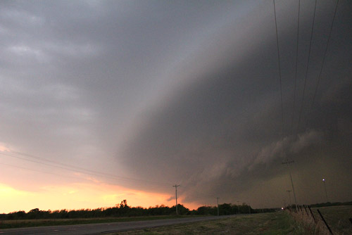
 The supercell marches towards Byers |
 Beavers tail near Byers |
 The SE quadrant |
 Beavers tail between Byers and Hway 177 |
|
|
|
|
| Stay tuned for tomorrow's episode... | |