| Day 2: 23rd
April, 2010: After overnighting at Burlington Colorado, the system that had
generated tornadic supercells the previous day, had moved quickly SE into the lower south
and southeast US. Our options today were to follow the more vigorous storms into Missouri
and lower eastern Texas or go to a secondary area of storm development expectations over
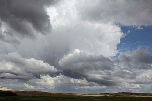
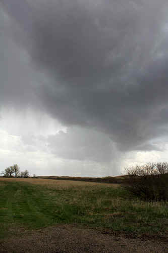
central Nebraska. Our experience of chasing through Missouri or the lower states was of endless forest and limited viewing opportunities. Tornadic supercells in these areas today were expected to reach high scale. Another problem with these storms today in that area...any tornadoes were expected to be moving between 50 and 60 mph! Not for these black ducks!! The danger level was far too great and in hindsight, judging by what developed it was a good choice not to chase in that area. We're not over here in the States to chase just tornadoes - we want to see storms...any storms! So we chose the Nebraska option. We headed east along I70, halfway into Kansas and then north into southern Nebraska. The deep low pressure system was intensifying over Oklahoma - an impressive jet had spread its wings across the south of the US. The upper support cold pool to the Oklahoma surface depression was over southwest Nebraska, and hence, instability factors were relatively high over central Nebraska. Although moisture was little better than marginal, diurnal forcing would tip the scale. As we entered the Sandhills of Nebraska, deep cumulus were already developing by early afternoon...and pretty soon, scattered multicells started to mature into larger scale storm systems. The only problems with the Sandhills country...are the Sandhills! We find that the road systems tend to wind in and out of the higher portions and limit viewing opportunities. By late afternoon, we tag onto a stronger, pulsy multicell near Thedford which generated a quasi stationary updraft core and an inflow tail. This storm became hail warned. We played around with this storm for an hour or so, then headed north towards Valentine, which is located near the South Dakota border. We photographed one strong updraft that developed a weak funnel. As we approached Valentine, most of these storms had grouped into rain areas, and any structure became obliterated. We overnight in Valentine, where an active storm around midnight kept us awake for an hour or two with spectacular anvil crawlers.
|
|
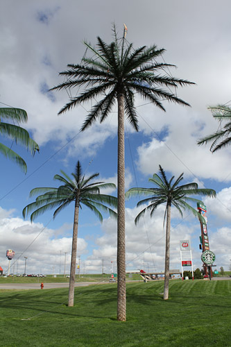 Plastic palm trees...north Kansas (real palmtrees won't grow in -30C in winter!! hence the plastic) |
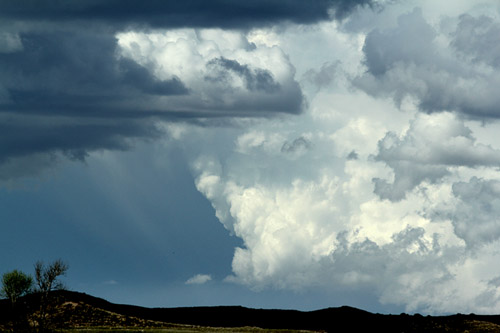 Impressive quasi stationary updraft, Nebraska sandhills
|
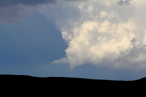 Western edge of the main updraft rotates briefly
|
 Funnel attempts on a strong updraft |
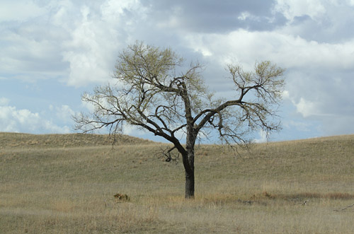 Trees are relatively sparse in the Sandhills |
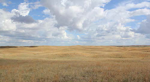 Nebraska Sandhills |
 Tint bases expand into large anvils incdicating increased lapse rates and cold in the mid levels |
 Even the tiniest cells were sparking lightning. |
| Stay tuned for tomorrow's episode... | |