| Day 3: 24th
April, 2010: We awake early to pouring rain....this area of Nebraska only
averages between 18 and 20" - most of that falling in the summer half of the year.
Since we arrived in Valentine we estimated that approx 2" (50mm) had fallen. The
broad rain bands were developing around an occluding low moving from Oklahoma to northern
Kansas. Some of the rain bands still retained embedded storms. Our target today is to move
from Valentine in northern Nebraska to southeast of Des Moines, Iowa, moving into the
northeast quadrant of the depression. It was here that some severe activity was
anticipated. During the previous day, ferocious tornadoes had continued to affect the deep
south, and were progged to moved further east today, well and truly out of our range. No
matter - we had no intention of chasing through the forested swamps through Mississippi
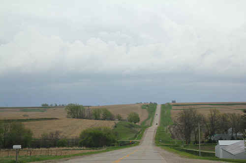
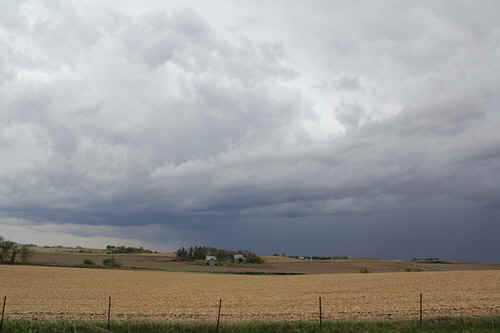
and into Florida..... We finally emerged from the rainbands around midday in eastern Nebraska, where we take a break to add to our software packages (Microsoft Streets and Trips with GPS - 2010) and pick up a couple of heavy metal CD's from Walmart. In America, you can find gargantuan Walmart stores just about everywhere...and they sell just about everything at very reasonable prices. After the 15 minute shopping spree, we head east and soon cross the border from Nebraska to Iowa moving east on I70, heading to Des Moines. A very large cirrus shield was extending from the SE which had originated from massive supercell clusters between 500 and 1500 km away. These huge developments were more or less filling in all of the blue sky, and later in the day they would merge into torrential rain bands wrapping in around the low and moving into southern Iowa. We spot some deep cumulus penetrating the cirrus shield to our northeast, and make a beeline. Lightning was increasing rapidly. The alignment of multicells which had developed NW of Des Moines was oddly relatively high based, and we later discovered it was part of an outflow feature. We circled around this outflow dominated storm complex for an hour or so, and decided to head further south....reaching Highway 34 we head east...Within half an hour or so, we collide with a potent converging band on the northern quadrant of a now intensifying depression less than 100km south. Very quickly drizzle, light rain and mist start tipping the scale to torrential downpours with embedded lightning! Some of these localities would experience 5 - 6" (125 - 150mm) overnight as the depression starts to ingest deep tropical moisture from the Gulf. Although storms in this area of southeast Iowa were severe warned, we have no vision whatsoever of any structure except black, low bases and torrents of water. We battle on eastwards, barely exceeding 40 - 50kmh, when we note a slight brightening of the eastern horizon. As we pass from the rain area with occasional lightning, we are enveloped in a fierce gust of white spray. We are again stunned by the ability of American weather to exhibit such rapid changes! On the very edge of the rainband, a deep dark rotating base appears, and wind gusts in excess of 100kmh sway our car! We manage to photograph the rotating, small wall cloud as it passes directly over us, exhibiting brief funnels. Somewhat disoriented, we continue east along Highway 34 and arrive at Ottumwa in torrential driving rain and fantastic windgusts in excess of 80kmh. We give up and flee to a hotel....we struggle through the entrance and duck for cover as fierce gusts blow loaded bins through the carpark.
|
|
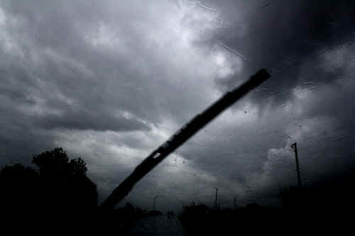
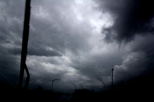
 We finally catch up with the multicell line near Des Moines. This turned out to be an outflow boundary from a collapsing cell further east. |
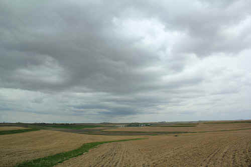 We encounter the outflow boundary with gusty easterly winds. The cloud deck was high based and sporadically produced small storm cells. |
 The northern portion of the multicell complex was strongly outflow dominated. |
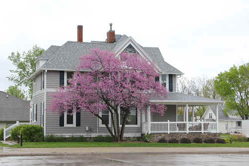 American architecture and spring blossom |
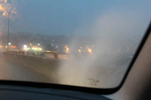
 Yikes!!!!! We're enveloped in a cloud of white spray and a spinning updraft on Highway 34East |
 Somewhat disoriented, we snap a few quick pics as the rotating updraft produces brief, weak funnels |
 A second after the first photo.... |
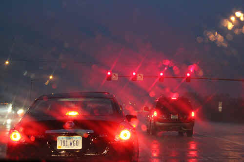 We encounter a deluge and 80kmh winds and extensive street flooding at Ottumwa, Iowa |
 A bit of a puddle..... |
|
| Stay tuned for tomorrow's episode... | |