| Day
9: Sherman, TX to Malvern, AR - Arkansas forests and Immense Supercells don't
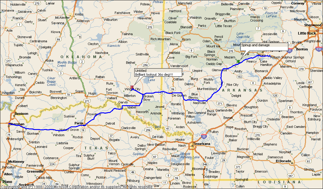
mix Although we try to avoid stormchasing in Arkansas, the temptation to go there after big storms are predicted overcomes our hesitance....huge supercells are expected to generate over N central Texas and SW Arkansas. We choose the Arkansas option. Elevated storms are already starting to make their presence felt over NE Texas and central west Arkansas - this is unfortunate as they are hidden by low level crap and mist......as we head E we pass through Paris, Texas and are immediately struck by the squalor of some of the homes. This place appears to be struggling. In contrast, as we travel to the NE suburbs just outside Paris, we find estates of large homes on acre lots. Paris is obviously a town of haves and have nots..... As we follow a back road towards Broken Bow, the countryside is pleasant - a mix of farm and ranch properties....the cows are happy with the lush green growth. We eventually find out way to Broken Bow in far SE Oklahoma and head west towards Antlers to investigate a line of intensifying storms. The storms are still mid level based but as they increase in strength we expect them to start to interact with surface based considerations. Not long after lunchtime, one of them does! We find ourselves a great lookout near a location called Golden, and we watch the storm approach with an attractive shelf. The lightning is cranking up and our hilltop location is not a good place to be and we head east while we are enveloped in a gushing torrent! Finding ourselves back in Broken Bow we watch this storm become a supercell.....but conditions are messy with bands of low fractus swirling and obliterating our view of the wall area, quickly disappearing ot the northeast. There are no road options, so we head west again the encounter a new cell developing southwest of Broken Bow. This storm is even larger and looks nasty on radar. As we approach Broken Bow, we are caught up in a strong downburst - winds are over 100kmh (60mph) at times! and we seek shelter in a driveway. It is a complete whiteout. This phase lasts almost 5 minutes without a break and we note that the storm has become tornado warned. Sirens are screaming at Broken Bow - we move closer to the town which is now being flash flooded and head south towards where we think the wall cloud area is. We are passed by the Dominator and convoy which disappear to the south. Over the next 15 minutes we are unable to locate the wallcloud and meso area..the roads are just not adequate and viewing is again very poor. Defeated by poor roads, we head back to Broken Bow and then east towards the Arkansas border. The storms themselves are following an alignment and we suspect a shortwave trough digging in from the west. On radar we spot a dominant cell to our southwest that has managed to kick its tail into the clear southerly Gulf moisture. As we dribble east, this storm continues to strengthen and we find a road NE towards Hot Springs. The winding roads, hills and trees make things extremely difficult for chasing and eventually the cell passes alongside our road location moving towards the NE. The storm continues to strengthen but our viewing is blocked by hills, rain and mist. After 10 or 15 miles, we pass through Glenwood which had just been flash flooded and we catch our first sight of the wall area of this storm, but we lose the wallcloud in the murk, mist and hills. However the storm is rapidly backbuilding towards the south and a new wall area appears off to our right. We continue driving north to Hot Springs. We arrive at Crossroads, a small village SW of Hot Springs, which had already suffered some structural damage form the previous supercell...the wall behind us is looking ominous and we find a rare clear area just outside Crossroads. We spot a wedge funnel hanging low over the hill and we notice vapour vortices rising from the ground under the funnel...we notice the core of the main updraft and vorticity max break down and sift to different locations under the meso...it can be difficult tracking them in these Arkansas forests. We race towards Hot Springs trying to keep ahead of the wall area but we can barely keep ahead of it. The swirling black mass we briefly see between the trees - thick bolts of lightning blast around our vehicle and the only thing in my mind is stopping and getting a photo. We manage to find a driveway and we snap a few shots. A small spinup appears in the field almost directly in front of us...I hotfoot it back to our car, and we push the Chevy Traverse beyond its 5000rpm limit...Finally arriving in Hot Springs where sirens are screaming, and emergency vehicles are dashing all over the place, we find a large shopping centre carpark with a clear vista to our S & SW. We spot an old lady pushing a shopping trolley, oblivious to the mayhem about to erupt...the huge wall area rotates just south of Hot Springs moving rapidly NE and as the RFD punches through where we are parked, we are pelted with tennis ball hail....we bugger off real quick!!! and speed southeast down Hwy 270 towards Malvern. We finally escape the grips of this monstrous supercell. This same storm continues to grow to an immense size and an our later, devastates its way though northern Arkansas and regretfully kills 4 people. This meso circulation becomes so large that it covers half of Arkansas by 8pm. As we arrive at Malvern near the I30, the trailing squall line and associated bow echo envelopes the town - we are stunned at the ferocity of the lightning and the amount of rain that falls in 5 minutes or so. Exhausted, we collapse....Day done!!
|
|
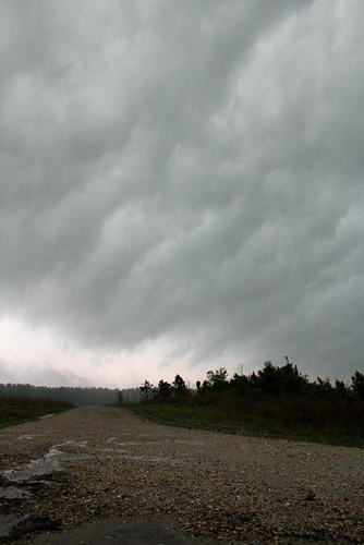
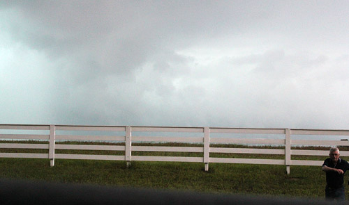
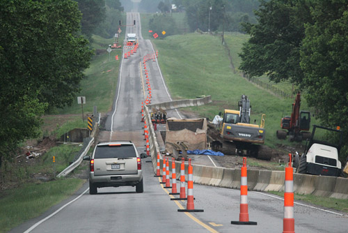 Stormchaser blocking can take the form of many of the bridge repairs they carry out in the warm season in the USA, near Idabel, OK |
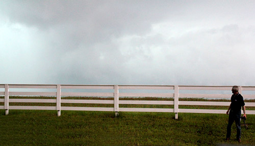
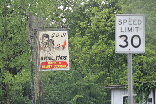 We don't know too many attractive rock stars...but anyway..... |
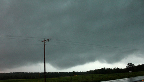
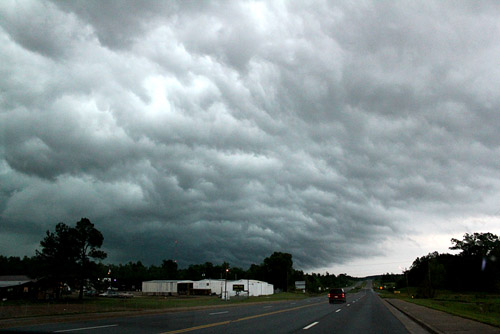
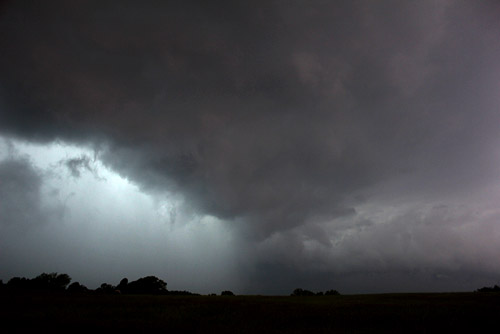
 Early strong storms are elevated but this one started to interact with the surface and 850hpa moisture, and became severe very quickly, W of Broken Bow, OK |
 A not very photogenic flanking line and feeder NE of Broken Bow. |
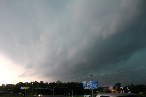
 As soon as these large midlevel storms started to interact with the surface they became very large and intense. This is a curved flanking line into a supercell NE of Broken Bow. Trees and poor roads prevented us from getting closer. |
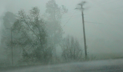
The core of the supercell passes over Broken Bow, visibility falling to zero at times. |
|
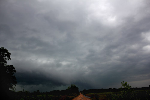
Torrential rain slows our progress some of the time, Lockesburg. |
Just right of the telegraph pole is a wedge funnel with multiple spinups (on the ground). We suspect this was the first stage of the tornado that developed NE of Hot Springs. |
 A briefly rotating column approaches up |
 Clyve hotfoots it for cover |
 Rotating wallcloud with RFD near Hot Springs. |
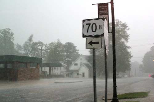
 Feeder band Hot Springs |
 Southern edge of wall approaching Hot Springs |
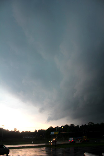
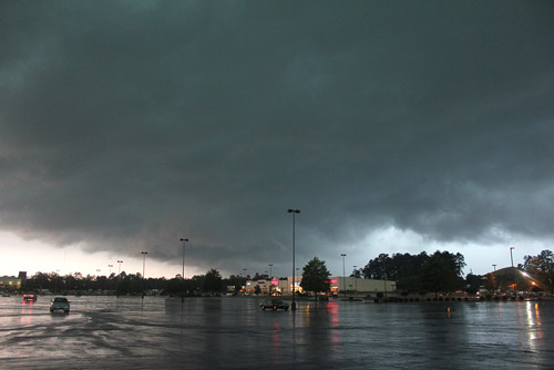 The wall area was immense and kept shifting location. Here the massive rainfree area and wall passing over Hot Springs, tennis ball hailstones fell briefly just after this photo was taken. |
 RFD cutting into the wall area Hot Springs |
|
 |
|
| Stay tuned for tomorrow's episode... | |